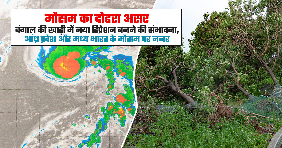
IMD Weather Update: Weather activity is expected to remain significant over parts of the Bay of Bengal and central India over the coming days. According to the India Meteorological Department (IMD), a low-pressure area over the South Andaman Sea may intensify into a depression around October 31 before moving towards the Andhra Pradesh coast. At the same time, the weakened remnant of Cyclone 'Arnab' continues to persist as a low-pressure area over North Chhattisgarh and adjoining eastern Madhya Pradesh. With two weather systems influencing different parts of the country, meteorologists are closely monitoring developments across central and eastern India, along with the Bay of Bengal.
The IMD has indicated that the low-pressure system over the South Andaman Sea is likely to move west-northwestwards and develop into a depression over the Southeast Bay of Bengal and adjoining areas around October 31. After intensifying, the system is expected to continue moving in a west-northwest direction towards the Andhra Pradesh coast over the following two days. Satellite observations show organized cloud formations around the system, with intense to very intense convective activity in some areas. Initial estimates indicate wind speeds of around 15 knots near the system's centre, with gusts reaching approximately 25 knots. These developments suggest that the system is gradually organizing, although its further intensification will depend on atmospheric and oceanic conditions.
Various weather models are indicating the development and west-northwestward movement of the low-pressure system over the South Andaman Sea and adjoining Bay of Bengal. Most models show a similar movement pattern towards the Andhra Pradesh coast. However, they differ in their assessment of how strongly the system may intensify. Based on environmental conditions, climatologically patterns and available model guidance, the IMD has assigned a moderate to high probability of cyclogenesis, or depression formation, during November 1–2.
While some global and artificial intelligence-based weather models indicate the possibility of further strengthening, other models suggest that the system may remain at the low-pressure or well-marked low-pressure stage. Therefore, its eventual intensity remains uncertain, and updated IMD forecasts will be important in assessing its development.
Alongside the developing system over the Bay of Bengal, the remnants of Very Severe Cyclonic Storm 'Arnab' are also influencing weather conditions over parts of central and eastern India. According to the IMD, the system had weakened into a well-marked low-pressure area over central Chhattisgarh and adjoining Odisha. By October 30, it had further weakened into a low-pressure area over North Chhattisgarh and adjoining eastern Madhya Pradesh. Satellite imagery indicates associated cloud activity over Bihar, northern Jharkhand, eastern Nepal, Sikkim, Sub-Himalayan West Bengal, Bhutan and parts of western Assam. Some locations in these regions have experienced intense to very intense convective activity. Moderate to intense cloud activity has also been observed over southern Jharkhand, Gangetic West Bengal and parts of Assam. Although the remnants of Cyclone Arnab have weakened considerably, associated cloud formations and atmospheric activity continue to persist across neighbouring regions.
The developing low-pressure system over the Bay of Bengal is expected to remain a key weather feature during the coming week. It may intensify into a depression around October 31, with further development possible during November 1–2. Most weather models indicate a west-northwestward movement towards the Andhra Pradesh coast, although the system's peak intensity is yet to be established. Meanwhile, the remnants of Cyclone Arnab have weakened into a low-pressure area over North Chhattisgarh and adjoining eastern Madhya Pradesh. Weather conditions across these areas and neighboring parts of central and eastern India will continue to require monitoring. The IMD's subsequent bulletins will provide greater clarity on the system's movement, intensity and possible regional impacts.
Weather Advisory for Farmers and the Public:
With two weather systems under observation, people in the potentially affected regions should remain attentive to local weather updates and official IMD advisories.
(FAQs):
Q1. When is the Bay of Bengal depression likely to form?
The low-pressure area over the South Andaman Sea may develop into a depression around October 31, with further development possible on November 1–2.
Q2. Which coast may be affected by the developing weather system?
The system is expected to move west-northwestwards towards the Andhra Pradesh coast.
Q3. What is the current status of Cyclone Arnab?
Cyclone Arnab has weakened into a low-pressure area over North Chhattisgarh and adjoining eastern Madhya Pradesh.
Q4. Which states may experience cloudy weather due to Cyclone Arnab's remnants?
Cloud activity has been observed over Bihar, Jharkhand, West Bengal, Sikkim and parts of Assam.
Q5. What precautions should farmers take during changing weather conditions?
Farmers should protect harvested crops, avoid spraying during rainfall, secure stored grains and follow local IMD weather advisories.