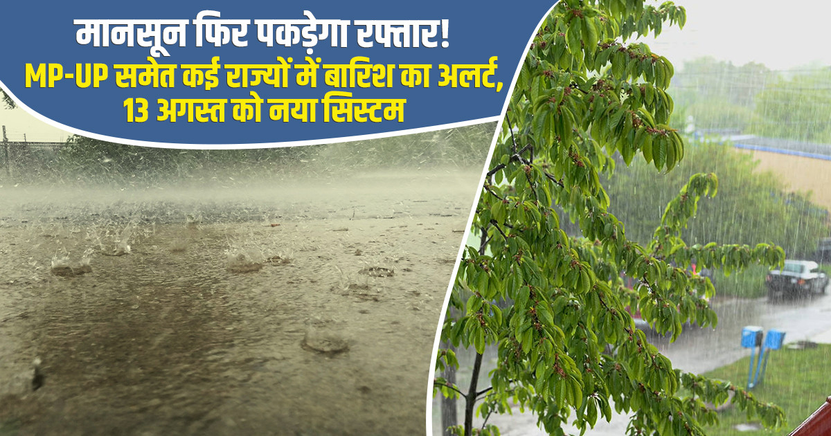
India’s monsoon pattern is set to undergo another shift, with rainfall activity expected to intensify across several regions. While heavy rain continues in parts of the country, some areas are still waiting for adequate rainfall. The India Meteorological Department (IMD) has forecast heavy rain, thunderstorms and gusty winds across several regions on August 10, including Madhya Pradesh, Chhattisgarh, eastern Rajasthan, Uttar Pradesh and parts of the western Himalayan region.
Adding to the weather outlook, a new low-pressure area is likely to develop over the northern Bay of Bengal around August 13. If the system develops as expected, it could strengthen monsoon activity across parts of eastern and central India, bringing another spell of widespread rainfall.
Monsoon activity is expected to remain active over several northern states. Jammu & Kashmir, Ladakh, Himachal Pradesh and Uttarakhand are likely to continue receiving rainfall. Rain is also expected across parts of Punjab, Haryana, Chandigarh, Delhi and Uttar Pradesh Weather. Some areas of eastern Rajasthan may receive heavy rainfall. Persistent rain in the Himalayan region could increase the risk of localized waterlogging, landslides and sudden rises in the water levels of rivers and streams, particularly in vulnerable areas.
Central India is also likely to remain under the influence of active monsoon conditions. Madhya Pradesh, Vidarbha and Chhattisgarh is expected to receive widespread rainfall. Several areas of eastern Madhya Pradesh, Vidarbha and Chhattisgarh could experience heavy showers, while rainfall activity is also likely to continue over western Madhya Pradesh. The wet spell could provide beneficial moisture for rain-fed crops, but farmers should remain alert to the risk of waterlogging, particularly in low-lying fields. Proper drainage should be maintained to prevent crop damage.
Delhi-NCR is likely to remain cloudy on August 10, with light rain at several places and moderate showers in some areas from afternoon through night. The maximum temperature in Delhi is expected to remain around 33–35°C, while the minimum temperature could stay between 24°C and 26°C. Rainfall may provide some relief from heat and humidity. However, intense spells could temporarily affect traffic and cause waterlogging in low-lying areas.
Heavy Rain Warning for Several Parts of Uttar Pradesh:
Monsoon activity remains strong across Uttar Pradesh. According to the IMD Lucknow centre, most parts of western and eastern Uttar Pradesh are likely to experience rain accompanied by thunderstorms and lightning on August 10. A yellow alert for heavy rainfall has been issued for several districts, indicating the possibility of locally intense rain during the forecast period.
Residents in vulnerable areas are advised to remain cautious during thunderstorms and avoid exposed locations during lightning activity.
Why Is the Monsoon Remaining Active Over UP?
Weather conditions over Uttar Pradesh are being influenced by a low-pressure system moving west-northwestward from the eastern coastal region. Under its influence, the monsoon trough has shifted slightly south of its normal position and remains active around central India. This atmospheric setup is supporting moisture transport towards central and northern parts of the country.
New Weather System May Strengthen Monsoon around August 13:
One of the key developments to watch is the possible formation of a new low-pressure area over the northern Bay of Bengal and adjoining West Bengal-Bangladesh coastal region around August 13. If the system develops and moves inland, it could once again enhance monsoon activity over West Bengal, Odisha, Jharkhand, Bihar and Chhattisgarh. The system may bring another spell of widespread rainfall across eastern and central India, although its eventual track and intensity will determine the areas that receive the heaviest precipitation.
FAQs:
1. Which states may receive heavy rain on August 10?
Madhya Pradesh, Chhattisgarh, eastern Rajasthan, Uttar Pradesh and parts of the western Himalayan region may receive heavy rainfall.
2. What is the weather forecast for Delhi-NCR?
Delhi-NCR may remain cloudy with light to moderate rain and temperatures around 33–35°C during the day.
3. Will Uttar Pradesh receive heavy rainfall?
Yes, several parts of western and eastern Uttar Pradesh may experience rain, thunderstorms and lightning, with a yellow alert in some districts.
4. When may the new low-pressure area form?
A new low-pressure area is likely to develop over the northern Bay of Bengal around August 13.
5. Which areas could receive more rain after August 13?
West Bengal, Odisha, Jharkhand, Bihar and Chhattisgarh could see increased monsoon activity if the system develops and moves inland.